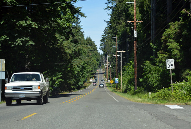
On Saturday, June 21, 2014, we drove the length of Washington State Route 300, all three miles of it.
RCW 47.17.540
State route No. 300:
A state highway to be known as state route number 300 is established as follows:Beginning at the western boundary of the Belfair State Park, thence generally easterly to a junction with state route number 3 at Belfair.

Near the tip of Hood Canal, we went for a walk on the beach in Belfair State Park. Then we started driving. Highway 300 begins in an unassuming manner just past this intersection.

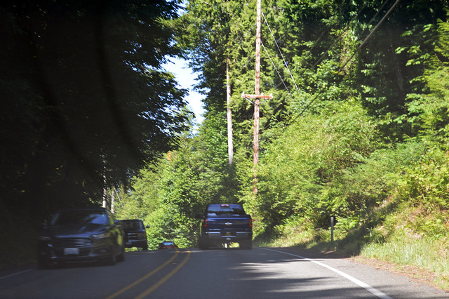
We then wound through the forest, with an occasional glimpse of Lynch Cove and surrounding residential streets. With no intermediate highway junctions, we took a photo at the approximate halfway point, right in the middle of a curve.

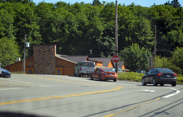
A few curves later, the highway crosses Union River, which is just a small creek, then emerges from the woods into the town of Belfair. At a stop sign, Highway 300 turns south before coming to this junction with SR 3. It doesn't really matter if you turn right or go straight at that stop sign, because there are directional signs when both streets meet Highway 3. I guess that's why there isn't a "Highway 300 thataway" sign at the stop sign.
SR 300 exists as an access route to Belfair State Park, and it sure was a nice excuse for a couple hours at the beach. Wading in the warm water, the sun shining down, soft sand under foot, plenty of oysters scattered around waiting for someone with a permit to pick them up...

No comments:
Post a Comment