

On Saturday, July 2, 2011, I drove Washington State Route 123. Mountains, here we come!
RCW 47.17.230
State route No. 123:
A state highway to be known as state route number 123 is established as follows:
Beginning at a junction with state route number 12 in the vicinity west of White Pass, thence northerly to a junction with state route number 410 in the vicinity west of Chinook Pass.
Under a cliff northeast of Packwood, Highway 123 starts here at a junction with US 12. We are, as one would expect for the southern terminus of the highway, facing southeast. SR 123 dips out of sight and quickly turns north to parallel Highway 12.
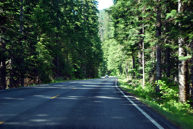
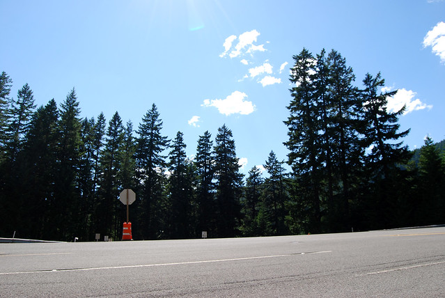
Through the forest above Ohanapecosh River, we head north. Curve curve curve, wend wend wend. We enter Mount Rainier National Park through a wooden gateway and continue up the valley. North of Ohanapecosh Campground, we reach the halfway point for this route. Still deep in the forest with nary but a glimpse of the mountain.
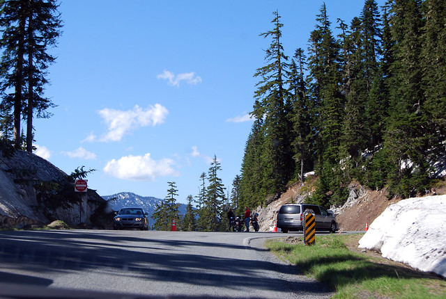
The forest thins out. The hillside steepens. Views emerge to our left. Distant hills and sky and Mount Rainier looming close. Tunnel. Viewpoints. Snow! Slower and slower with the tourists, we arrive at Cayuse Pass, the end of Highway 123. Here it meets SR 410, which is on its own way up Chinook Pass to the east. We have climbed to the headwaters of the Cowlitz drainage, which flows to the Columbia, and stare at the White River basin, which flows to Tacoma.
Quite a nice drive through the park, but one must really continue upward to fully appreciate the surroundings. Upward and onward!
No comments:
Post a Comment