

On Sunday, June 7, 2020, we drove the length of Washington State Route 530, up the Stillaguamish and down the Sauk.
RCW 47.17.755
State route No. 530:
A state highway to be known as state route number 530 is established as follows:Beginning at a junction with state route number 5 in the vicinity west of Arlington, thence easterly and northerly by way of Darrington to a junction with state route number 20 in the vicinity of Rockport.

When Highway 530 was first created in 1964, it began in Conway and took Pioneer Highway (really old US 99) through Stanwood to here, a junction with I-5 just west of Arlington and north of Smokey Point. In 1991, that section was removed as redundant. Thus we begin at milepost 17.
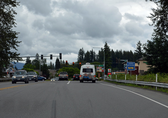
The first half-mile of Highway 530 is on the really old US 99, which then curves south on Smokey Point Boulevard. We, though, go straight east through the farmland of "The Island". The highway curves north and east on a bypass, but we reach Arlington and SR 9 nevertheless.

We turn north. Highway 530 runs coincidentally with SR 9 for all of a block before we turn east again.
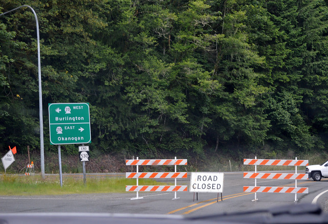
At the edge of Arlington, we cross the South Fork Stillaguamish River and head up the North Fork Stillaguamish valley. The valley is a narrow strip of farmland deep in the forested mountains. Lots of traffic on the road, especially when you're in a long line of cars going 10 mph under the speed limit. The highway crosses the river a couple times. We stop at the site of the 2014 Oso landslide. The highway is marked as the Oso Slide Memorial Highway in this area. The trees are growing quick. Soon the devastation will be difficult to visualize. Several miles later, we stop at White Horse for a hike in the woods. Afterwards, the farms give way to forest. At Darrington, still in the valley bottom, we cross from the Stillaguamish watershed to the Sauk watershed. Highway 530 used to end here, but in 1983, it was extended. Thus we take a left turn (stop for burgers) and head through the forest down the big Sauk River and cross the even bigger Skagit River at Rockport. The east leg of the delta-shaped junction with SR 20 is closed due to a rockslide just a bit east on SR 20. The sign says "End 530" and so it is.
Highway 530 can be a fun road to drive, curvy and scenic, as long as you have the road to yourself...
No comments:
Post a Comment