

On Saturday, June 11, 2016, we drove through rain and fog and sunshine over Chinook Pass, the length of Highway 410.
RCW 47.17.610
State route No. 410:
A state highway to be known as state route number 410 is established as follows:Beginning at a junction with state route number 167 at Sumner, thence easterly by way of Buckley, Enumclaw, and Chinook Pass, to a junction with state route number 12 northwest of Yakima: PROVIDED, That until such time as state route number 167 is constructed and opened to traffic on an anticipated ultimate alignment from a junction with state route number 5 near Tacoma easterly to Sumner on the north side of the Puyallup river, the public highway between state route number 5 in Tacoma and state route number 161 in Sumner, on the south side of the Puyallup river, shall remain on the state highway system.
These days, SR 410 starts at milepost 9 in Sumner. Between 1967 and 1973, it started in Tacoma at milepost 0, but then that first section got switched to be part of SR 167, hence the "provided" sentence in the code above. Before 1967, US Route 410 started in Aberdeen, but then US 12 was extended to Aberdeen via a different route and the remnant of US Route 410 became just State Route 410 (except for the section southwest of Tacoma, that is). The highway got the number 410 because it was the fourth secondary route of US Route 10. So here we are at the interchange of SR 410 with SR 167, heading for Yakima.
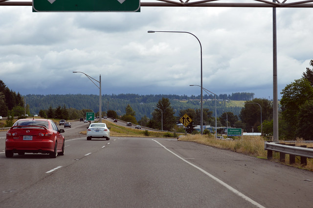
A mile or so of freeway later, still in Sumner, we have the interchange for SR 162.
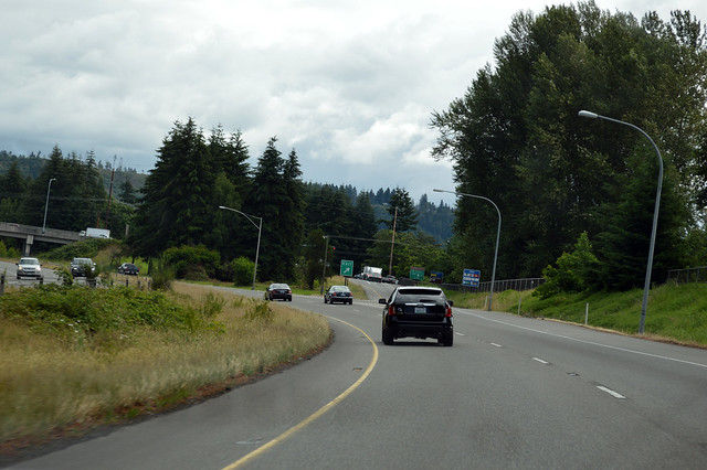
Our freeway zips up the hill to Bonney Lake where we find a stoplight. And another stoplight. And another stoplight. Bonney Lake has just as many stoplights as the rest of Highway 410 combined, and they are not synced in any way. We get rolling again down the straight highway, forevermore a two-lane road. The road finally turns in Buckley, just at the junction with SR 165. Did you want to go to the west side of Mount Rainier?
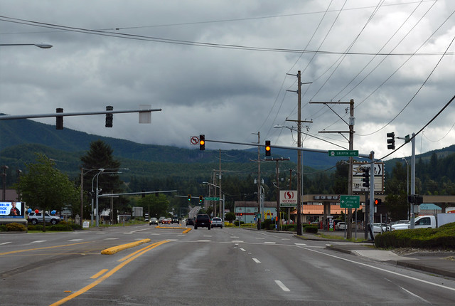
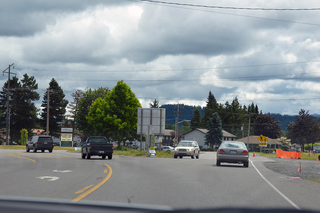
Through Buckley and down across a low bridge over the White River, then up the hill to Enumclaw we go, where we find the junction with SR 164. When the state numbered the highways back in the 1960s, they decided to treat Highway 410 as if it were Highway 16, hence all the 16x branches.
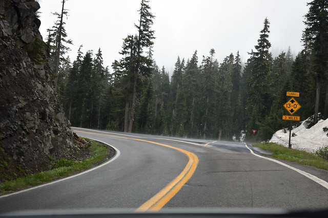
Finally we are free of the cities. The farmland disappears behind us as we venture forth up the green canyon of trees. Highway 410 follows the White River up and up into the mountains. Mist rises from the pavement as the sun tries to shine through the thick and low clouds. We enter Mount Rainier National Park and the forest gets darker and closer to the road. Mount Rainier hides from view, except a glimpse of the bottom of a glacier or two. The White River curls west and we head south, up to Cayuse Pass and a junction with SR 123, shown above.
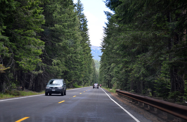
SR 410 turns east at Cayuse Pass and keeps climbing. Suddenly snow covers the ground everywhere. Cliffs alongside the road, above and below us. Guardrails inconsistent. The fog tightens, mist on the windshield. We switchback left and right and left as we climb to Chinook Pass, over 5400' above sea level and where we started. We drive under the PCT bridge, piles of snow on either side of the road. Down the other side we cruise, into the U-shaped valley of the Rainier Fork of the American River. The snow disappears quickly, but the clouds slower so. We re-enter the forest, another green canyon of firs. The highway crosses the American River back and forth, back and forth. The glacier-carved U-valley transitions to a water-carved V-valley. The highway is squeezed between cliffs and the river, zig-zagging down a canyon (of rock, not trees!). Just after the American River flows into the Bumping River, we reach the halfway point between Enumclaw and the end of the road. Since it's more than an hour of driving, we have a photo, above.
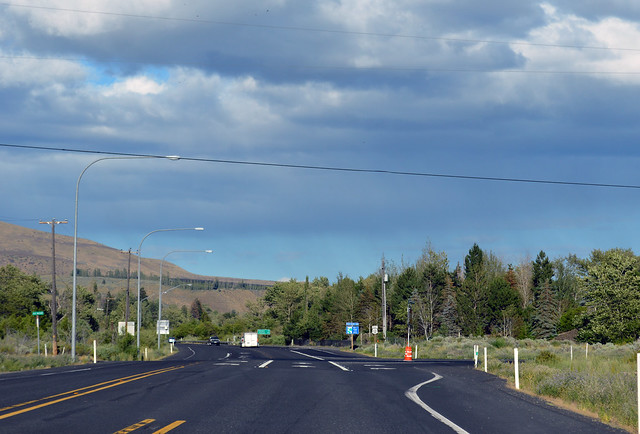
Highway 410 keeps flowing down the canyon with the Bumping River, then with the Naches River after they mix. These first few miles along the Naches River and through the Cliffdell community were the most recent change to county boundaries in the state, as they were switched from Kitttitas to Yakima County by a 1970 special election. After Cliffdell, the fir trees give way to pines. After several more miles, the pines give way to desert shrubs on the hills around us. We enter the Nile Valley, the location of a massive landslide in 2009 that wiped out Highway 410 and diverted the Naches River. Now, even when looking for it, I can barely tell where it had happened. Down the river some more, and after a tight turn at Horseshoe Bend, the end is nearly in sight. In the Upper Naches Valley, we reach US 12, which took over the route of US 410 from here eastward in 1967.
It wasn't the best day for a scenic drive, but the weather certainly provided a broad range for our trip! Rain and fog and clouds and sun. Fog lights and windshield wipers and sunglasses all in a couple hours. It was still a fun drive, even if I couldn't stop and take pictures of Mt Rainier. Oh well. I'll have to go back yet again, some day soon.
No comments:
Post a Comment