

On Saturday, June 21, 2014, we drove Washington State Route 303 along the Kitsap Peninsula.
RCW 47.17.550
State route No. 303:
A state highway to be known as state route number 303 is established as follows:Beginning at a junction with state route number 304 at Bremerton, thence by way of the Warren Avenue bridge across the Port Washington Narrows northerly to a junction with state route number 3 in the vicinity north of Silverdale.
Sitting in a parking lot in the heart of Bremerton, I took a photo of the beginning of Highway 303 at its intersection with SR 304.
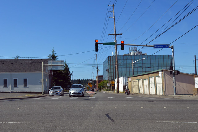
We headed north on Warren Avenue as the code specifies and crossed Port Washington Narrows on the Warren Avenue Bridge (and not the Manette Bridge as Highway 303 originally did, although the state is still responsible for the Manette Bridge). Continuing north through East Bremerton and many stop lights, we reached the halfway point, time-wise, just north of the Bremerton city limits. Photo above.
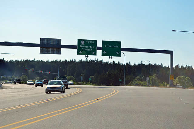
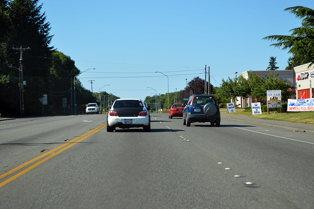
After a few more miles, Highway 303 turns west, away from its original route north to Keyport. The highway transforms into a freeway as we climb Bucklin Hill and then descend to Clear Creek Valley (aka Silverdale) and a screwy junction with SR 3, where criss-crossing lanes with minimal markings surely make life interesting on a daily basis. But we're not done yet.
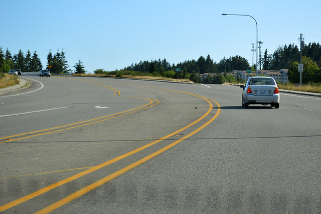
To make life odder, SR 303 turns south after crossing SR 3 and then has another junction with SR 3, just a few hundred yards later. Is it all part of the same junction? Maybe, maybe not, but it's the end of Highway 303, so here's a photo.
And thus ends our drive of the Kitsap urban/suburban arterial/freeway with lots of stop lights.
No comments:
Post a Comment