

On Saturday, July 25, 2015, we drove the length of Washington State Route 401, down by the mouth of the Columbia.
RCW 47.17.580
State route No. 401:
A state highway to be known as state route number 401 is established as follows:Beginning at Point Ellice on state route number 101, thence easterly and northerly to a junction with state route number 4 in the vicinity north of Naselle.
At the north end of the Astoria Bridge, SR 401 begins. US 101 is behind us and to the right. We go straight.
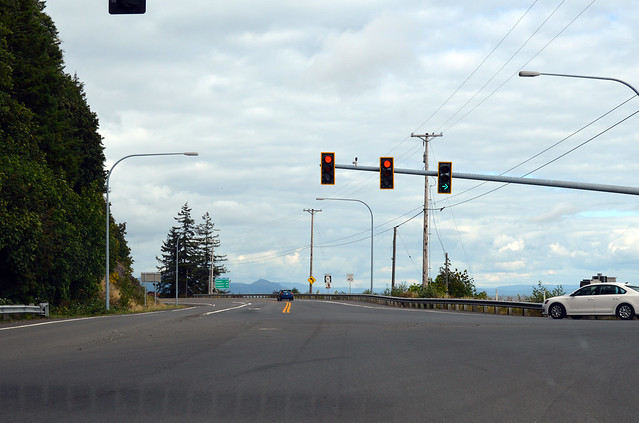
After a mile, we reach the end of the road. No, wait. It keeps going. Nevertheless, just east of Dismal Nitch was the town of Megler, which used to be the end of the road, with a ferry across the river to Astoria. After the bridge was built, not much need for a town anymore, apparently. There's a rest area there now, with nice views and grilling barbecue. The state built the next three miles of road before the bridge was constructed, I think. We pass the wrecks of Hungry Harbor and the remains of the quarantine station and Knappton, where we say goodbye to the Columbia and head uphill. Knappton used to be the end of the road from the north, with a ferry to Astoria, as well. Only a half mile from the Columbia, the highway reaches a low pass and begins down into the Naselle River drainage. A mile or so later, we reach the halfway point of SR 401, pictured above.
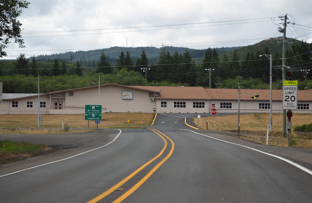
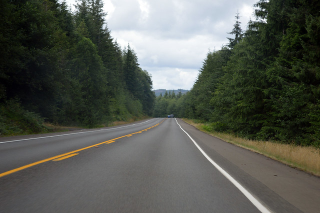
We continue down the South Naselle River, through the working forest, to the farmland around the town of Naselle. We drive through town and reach a junction with State Route 4. Highway 401 doesn't go into the high school parking lot, so this must be the end of the road.
Despite passing showers, we had a nice drive. Plenty of pull-offs to view the Columbia River and all upon it. Supposedly you can even see Mt St Helens up the river, but it was too cloudy for us.
No comments:
Post a Comment