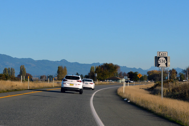
On November 1, 2020, we drove what remains of Washington State Route 536.
RCW 47.17.770
State route No. 536:
A state highway to be known as state route number 536 is established as follows:Beginning at a junction with state route number 20 at Fredonia, thence easterly to a junction with state route number 5 at Mt. Vernon.

Originally, Highway 536 began in Anacortes at the ferry dock to the San Juans. After the North Cascades Highway was completed in 1972, the western half of Highway 536 became part of SR 20. It is thus that we begin at this Y junction at Fredonia (which is basically just a lumber mill nowadays).

Towering on the horizon across the farmlands of the Skagit Valley is Mt Baker. It is autumn, so pumpkin farms dot the highway with big orange signs. At the halfway point of Highway 536, we are here in the community of Avon.

As we near Mount Vernon, a mound of earth looms on the north side of the road. This is the dike for the Skagit River, just in case it floods. We pass through an old industrial area, cross over the river, and enter town. I always expect a directional sign at the first stoplight (1st St) telling me to turn right, but there isn't a sign at all. In fact, the highway goes straight, which doesn't feel correct. Highway 536 goes under 2nd St, then turns right to become 3rd St. After a couple blocks, there's a sign to turn left. This, we do. Highway 536 quickly meets I-5 and ends.
It's the shortcut route to Anacortes and Whidbey Island. It does this well.

No comments:
Post a Comment