

On Saturday, June 30, 2018, we drove the length of Washington State Route 516 on the way to our birthday party!
RCW 47.17.710
State route No. 516:
A state highway to be known as state route number 516 is established as follows:Beginning at a junction with state route number 509 in the vicinity south of Des Moines, thence southeasterly to a junction with state route number 5; also
From that junction with state route number 5, thence easterly to a junction with state route number 167 in Kent, thence easterly to a junction with state route number 169 south of Maple Valley.
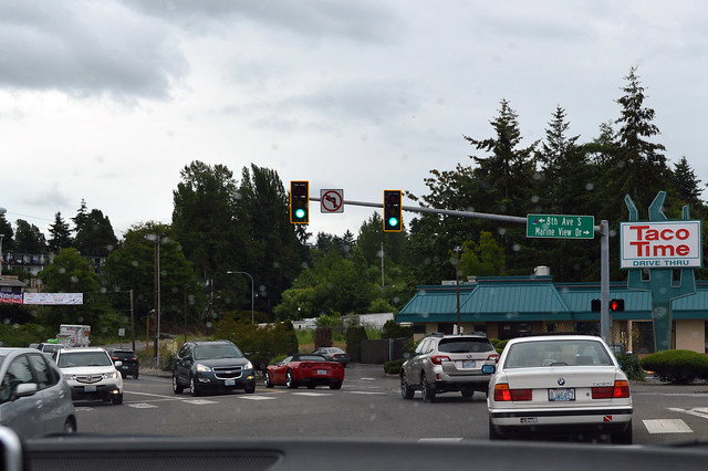
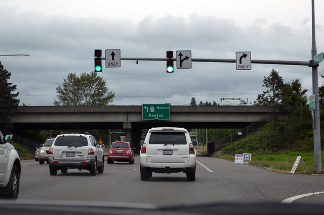
Once what was a junction is now two highways end to end. At this stoplight in Des Moines, our street changes from SR 509 to SR 516.
Highway 516 proceeds to wind up the hill away from Puget Sound, alongside Massey Creek. Shortly we arrive at SR 99 in the Midway neighborhood. In six years, there will be a light rail station a quarter mile south of here.
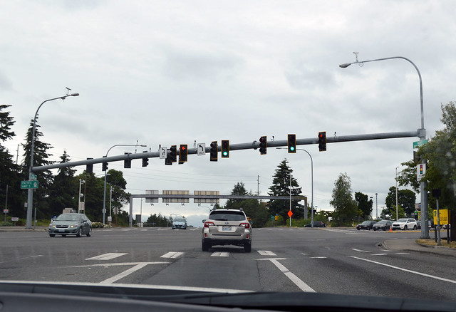
As soon as we leave the Highway 99 intersection, we arrive at the interchange for I-5. Looking at the map, you'll see that the first half of Highway 516 is the southern leg of a rough square of highways that has six parallel north-south route, but only two east-west routes. It's unusual spacing for Washington highways, but that's how the valley lies.
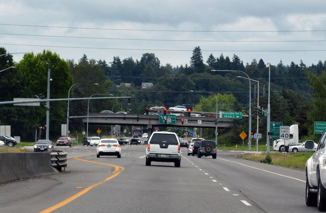
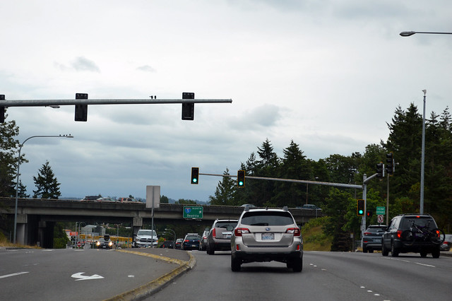
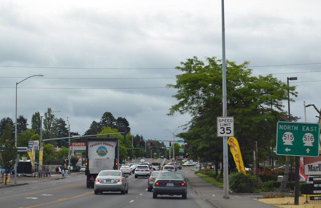
After I-5, the speed limit jumps from 35 to 55 mph, but most drivers don't seem to notice. SR 516 is basically a freeway as we curve down to the Kent valley, until a stop light at the bottom of the hill (once everyone gets up to the speed limit). Then we zip eastward, cross the Green River, and arrive at the West Valley Highway, SR 181.
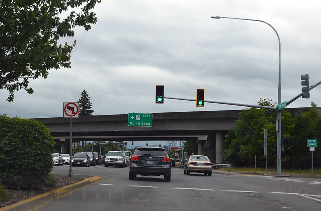
Even closer together than 99 & I-5, SR 181 is immediately followed by the Valley Freeway, SR 167.
Highway 516 then slows and enters downtown Kent. With no signage (other than two left-turn lanes), we turn north on Central Ave. When we get to Smith St, there is a sign directing us to turn right. Now I'm on a familiar route, driven hundreds of times, passing Earthworks Park and heading up East Hill on Canyon Drive. At the top of the hill, we arrive at the junction with SR 515. Remember Johnny's?
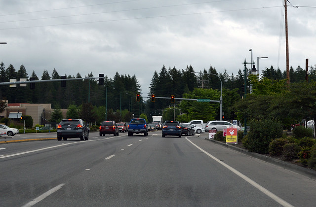
Eastward on Kent-Kangley Rd, the speed limit increases to 45 mph, but when we get to Meridian, nobody wants to drive that fast. I wonder when WSDOT will reduce the speed limit down to 35 mph for the stretch around 132nd Ave. Curves -- even slight curves -- slow drivers down. We pass Lake Meridian (Remember when this was only two lanes?) and cross Soos Creek into Covington. Now the speed limit is 35, but we stop for all the lights. Two of the lights are for the junction with SR 18.
We slowly head east through Covington, which has grown like crazy in the past thirty years. Remember Johnny's? After Wax Road, the road narrows to two lanes and we hit a traffic jam, which lasts all the way to the Home Depot entrance. WSDOT posted a sign that they're going to widen this stretch of road ... in the future. We speed back up, cruising through the forest, gradually up a hill to Maple Valley. The city slogan should be "The Valley on a Hill", since the county didn't let them incorporate the actual valley as part of the city. The valley was left on the rural side of the urban growth boundary. Makes sense, right? At Four Corners (Summit on the old maps), we reach the end of Highway 516 at this intersection with SR 169. Kent-Kangley Rd continues onward another seven miles to the old town of Kangley and beyond, but this is the end of the state route.
SR 516 is so familiar to me, it was surprisingly difficult to see it with new eyes and not just drive it as routine.
No comments:
Post a Comment