
On Saturday, September 2, 2017, we drove both lengths of Washington State Route 509, from Tacoma to Seattle.
RCW 47.17.680>
State route No. 509:
A state highway to be known as state route number 509 is established as follows:Beginning at a junction with state route number 705 at Tacoma, thence northeasterly to a junction with state route number 99 in the vicinity of Redondo; also
From a junction with state route number 516 at Des Moines, thence northerly to a junction with state route number 99 in Seattle.
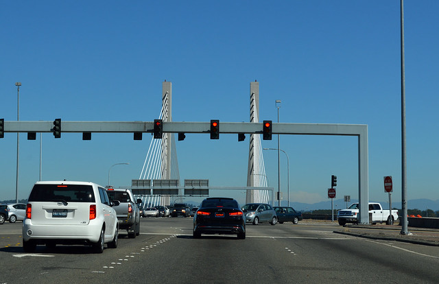
With almost no signage on Pacific Avenue letting drivers know about two freeways 100 yards away, Highway 509 begins at this interchange with I-705.
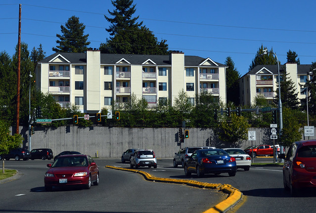
The light turns green and we're on our way, crossing the cable-stayed bridge opened in 1997 and heading across the Port of Tacoma. (Highway 509 used to be a mile north of here, on 11th Street, before this bridge and freeway were built.) We zip along the edge of the industrial area, paralleling I-5 less than half a mile away. But the freeway section ends fairly soon (near where a new spur connecting to I-5 will be built (scheduled for 2024)), and we curve northwest around Commencement Bay past marinas and scrap metal yards. The highway winds up the bluff under madronas and maples to Browns Point (home of a 1933 art deco lighthouse) and Dash Point. We continue along the top of the bluff, enter King County and Federal Way, rolling along the curvy road through the forest. We stop and take a right turn to stay on the highway. The highway climbs up Lakota Creek's canyon, with the guy ahead of me going 25 in a 35 because ...? At the top, we're suddenly back in civilization, left turn, roll through forested suburbia until we get to the first junction with SR 99, pictured above. This is the end of the first section of Highway 509.
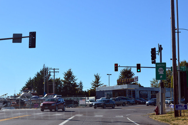
In Des Moines, at this junction with SR 516, our highway resumes. ... Does it really count as a junction if the two highways are end-to-end?
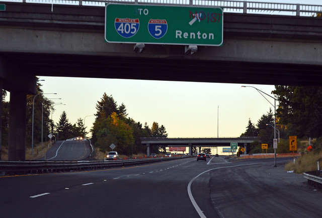
We start slowly in downtown Des Moines (stop and play ping pong at a sports bar), then abruptly out of Des Moines into the city of Normandy Park. Over hill and dale on a straight road, we head as due north as some poor, 19th-Century surveyors could manage. Just when we can see the heart of Burien down the hill ahead of us, Highway 509 cuts southeast toward the airport where we loop around and suddenly we're on a freeway heading north. (The state plans to finish this freeway, connecting southeast to I-5, in 2028. Highway 509 will have six endpoints then (in two Ys), unless the state reassigns numbers or drops sections from the highway system.) We race north back to Burien and this interchange with SR 518, which the signage barely mentions.
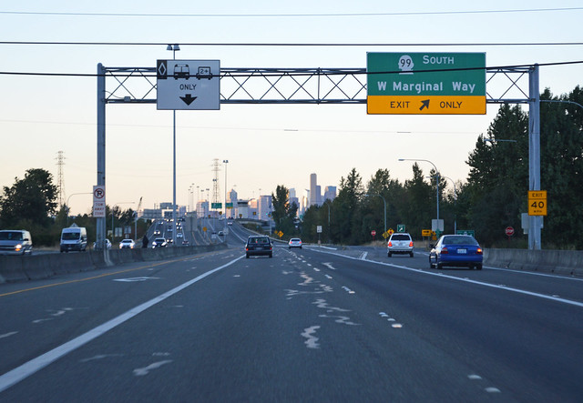
We cruise on down the hill to Seattle on the quiet freeway. In South Park, we arrive at our section junction with SR 99.
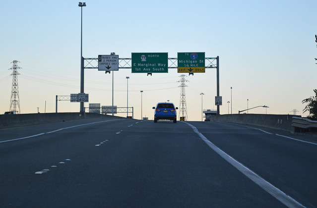
A half mile later, still in the same interchange, just before the Duwamish River bridge, SR 509 officially ends and the road ahead is SR 99.
Starting life as a quiet road up the shoreline, Highway 509 is gradually being pulled into the freeway city. It has been transitioning since the 1960s, but by 2030 the transition might be complete. One freeway for the Port of Tacoma and one freeway for Sea-Tac Airport. For now, though, it's an odd mix of freeways, city streets, and curvy forest roads.

1 comment:
At 509 and Alexander the traffic lights on Frontage Road need to be shaded from the otherside of the intersection, when sitting for the light on 509 North and Alexander you can see the light on 509 South and Alexander many see the far light go to green and run their Red light by mistake, the far light needs to be shaded from the far side of the road...
Post a Comment