

On Saturday, November 10, 2018, we drove Washington State Route 522 over hill and over dale to Monroe.
RCW 47.17.725
State route No. 522:
A state highway to be known as state route number 522 is established as follows:Beginning at Seattle in King county, thence easterly by the most feasible route to the north of Lake Washington by way of Bothell to a junction with state route number 202 near Bothell; also
From that junction with state route number 202 near Bothell, thence northeasterly by the most feasible route to a junction with state route number 2 in the vicinity of Monroe.
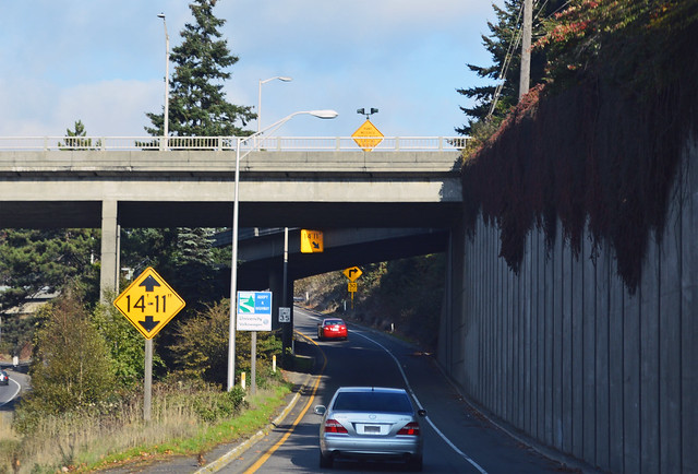
At this freeway offramp in North Seattle near Green Lake, Highway 522 departs from I-5. Primary State Highway 2 (Seattle to Spokane and Idaho) originally had two routes around Lake Washington. The northern Bothell branch started in downtown Seattle, went north via Eastlake and 10th and 12th, then turned slightly onto Bothell Way. After I-5 was complete, that first leg was dropped and Bothell Way was extended a short distance to this new interchange. Onward to victory!
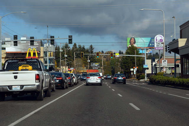
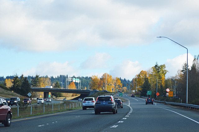
When this stretch of road was first constructed over a hundred years ago, it was called Victory Way (hence the Victory Heights neighborhood's name). It was later renamed Bothell Way, since it goes to Bothell. Then the first few miles were renamed Lake City Way, since they go to Lake City... The first stretch of Highway 522 is only 25 mph, which is new, I think. This is probably my least-driven part of this highway. But it speeds up to 35 when we leave Maple Leaf and head down the Willow Creek canyon to Lake City, whereupon we slow again. Lake City sure looks like a nice neighborhood. Another mile and we're at the junction with SR 523, a.k.a. 145th Street.
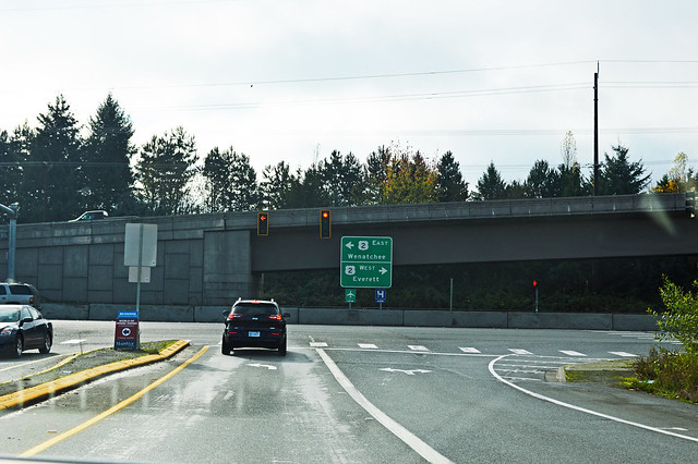
We enter Lake Forest Park on Bothell Way, choose not to have barbecue for breakfast, and roll down the hill past the Sheridans to the junction with SR 104.
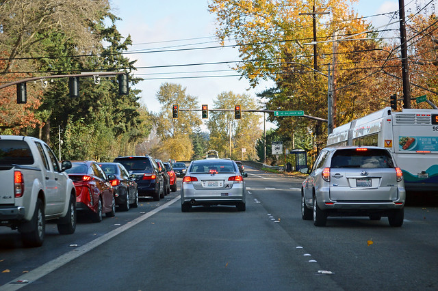
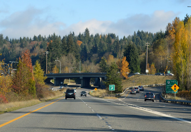
Lake Washington appears to our right. The road turns east as we enter Kenmore. Bothell Way NE becomes NE Bothell Way. Lovely Kenmore. Sammamish River below to our right. We enter Bothell and the road turns back north. NE Bothell Way becomes Bothell Way NE. If you get off the highway here and go a hundred feet south, you'll find Red Brick Road Park, which is a stretch of the original PSH 2, paved with -- you guessed it -- red bricks. A bit north, our highway finds downtown Bothell, where we leave Bothell Way by going straight at an intersection with what used to be SR 527. It's now just a city street called Bothell Way NE. Highway 522 becomes Woodinville Drive, so let's head to Woodinville! But first, the city street turns into a freeway and we have a interchange with I-405. Right about here, Highway 522 and Woodinville Drive used to cross the Sammamish River, but the highway doesn't anymore. The street name resumes across the river, however.
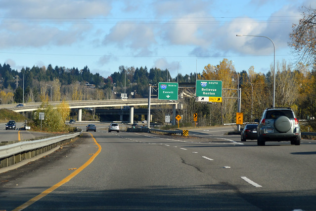
A mile east, Highway 522 meets SR 202. Exit here if you like to sit at stoplights. Originally, Highway 522 followed the PSH 2 route to Redmond, Fall City and North Bend, while SR 202 started in Woodinville and went northeast to US 2 in Monroe. In 1970, the two were switched. SR 202 became the Woodinville to North Bend route, while Highway 522 straightened out to be generally southwest-northeast in alignment. I guess that makes sense, but now SR 202 is no longer connected to its "parent" route, US 2.
Highway 522 turns north to follow Little Bear Creek. The route from here to Monroe was once numbered PSH 15 Bothell-Monroe Branch. (PSH 15 was the 1930s name of Alt US 10, now US 2). In the Snohomish County part of Woodinville, we arrive at the junction with SR 9. Arlington? Canada?
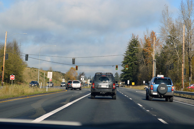
Up the hill we go, turning east, then north again to Maltby. Highway 522 generally follows a Burlington-Northern spur line through here. The railroad is just to our left at this junction with SR 524. A stoplight in the middle of a 60-mph freeway? Sounds like a good idea.
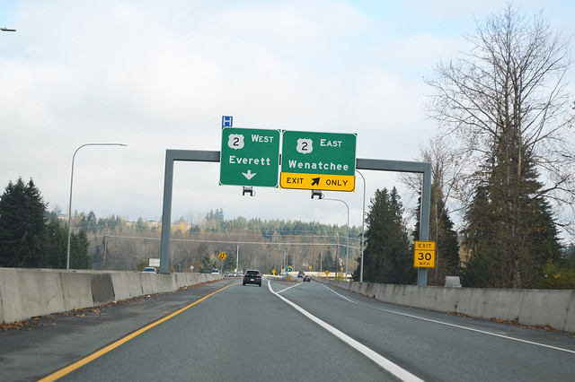
The road narrows to two lanes, but there are no more stoplights. In a long line of cars, we descend eastward to the Snohomish River. Just before the bridge, the highway widens to four lanes again (construction completed in 2015). Highway 522 skirts around Bald Hill. We try to tell the high school apart from the prison. Highway 522 cuts right through the middle of Monroe, but we're so elevated that it's always out of sight. Just before the end of the highway, there's an exit for US 2 eastbound (constructed completed in 2011).
But Highway 522 keeps going. We cross above US 2 and... do a 180-degree turn to an intersection with US 2, the stoplight at the end of the road. And just like the beginning, the speed limit is 25 mph. When the overpass was built, the plan was to extend another mile to a bypass highway around the north edge of Monroe. In the 1970s, the state completed the design and bought all the land for that bypass and the Highway 522 extension, but it still hasn't been built yet. The concept was last revisited in 2011, but there's no funding for construction.
Now that there's an offramp to head eastward, this stoplight sure takes a long time to allow a left turn...
Finally, a green arrow! Let's go hiking -- quick, before the sun sets!
No comments:
Post a Comment