

On Monday, October 3, 2016, we drove the length of Washington State Route 500 as rush hour approached.
RCW 47.17.635
State route No. 500:
A state highway to be known as state route number 500 is established as follows:Beginning at a junction with state route number 5 at Vancouver, thence northeasterly to Orchards, thence southeasterly to a junction with state route number 14 at Camas.
In the 1960s, SR 500 started as Fourth Plain Boulevard in Vancouver, but in the 1970s and 1980s, a freeway was built a half mile north, so the route shifted its first section. It now begins at this interchange with I-5, its parent route by the state numbering system.
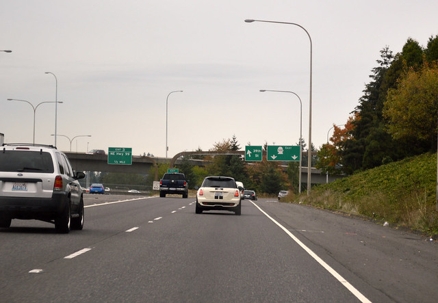
We zoom along the freeway for a mile, then stop. There's a mile-long backup for a stoplight. Finally we roll again, then stop for another light, then zoom again to this interchange with I-205.
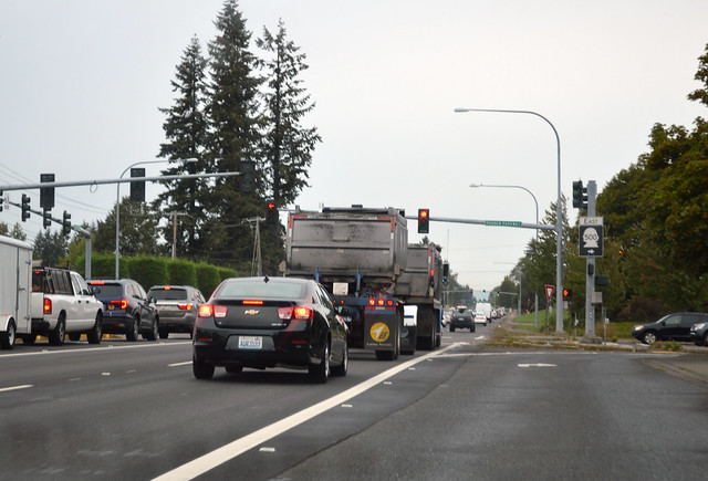
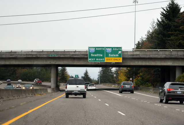
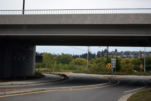
Shortly thereafter, we reach another long backup for the light with Fourth Plain Boulevard. I'm glad we made it through here before rush hour! SR 500 used to turn east onto Fourth Plain Boulevard, but since fancy Padden Parkway was built a mile north, the route was shifted to use that road. There's still the old sign over the highway, pointing east toward Camas on Fourth Plain Boulevard, but the SR 500 symbol has been covered by a green square. So we sit through another mile of stop-and-go traffic northward to get to this junction with SR 503, pictured above, where we need to take a right turn to stay on our route.
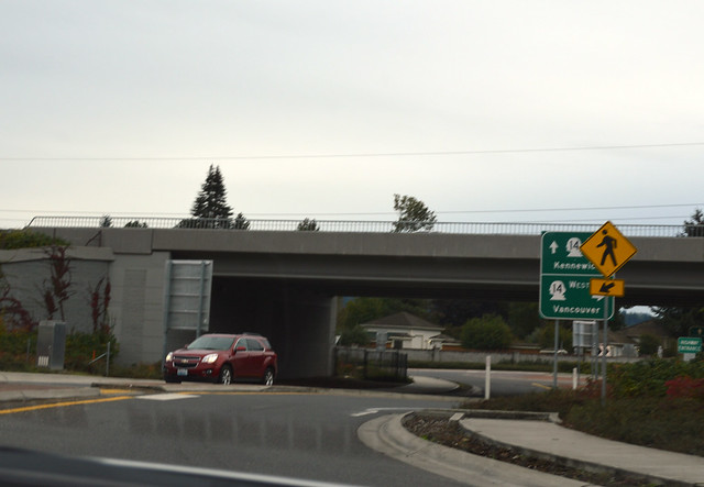
We zoom along the parkway for a couple miles to the edge of suburbia, but then must turn south to get back to the old route. Back at Fourth Plain Boulevard, we turn east and cross the urban growth boundary into horse pastures. SR 500 is suddenly a curvy, narrow farm road. At the chickens, a stop sign. We turn left onto a main east-west road through the area. Another narrow country road, but not as curvy. We leave the farms and enter the dark forest of Lackamas Lake Park and into Camas. Down the hill to the heart of town. Right turn! Minimal signage for following SR 500. Left turn! As if no one really tries to follow it anywhere. Over the Washougal River with its fishermen. Slow through a residential area, curve south, and we're at the interchange of roundabouts with SR 14.
But that's not the end, not quite. We circle the roundabouts and head east on the Frontage Road, parallel to the SR 14 freeway for another half mile, until we reach another interchange of roundabouts. SR 500 doesn't reach its terminus until here, passing under SR 14 again.
SR 500 is a very busy road in segments, but it's so disjointed and zig-zags so much all over the road grid, that I doubt many people try to follow it to get anywhere. For any journey over a few miles, the route isn't even the quickest path between two points on it. Odd. Very odd.
No comments:
Post a Comment